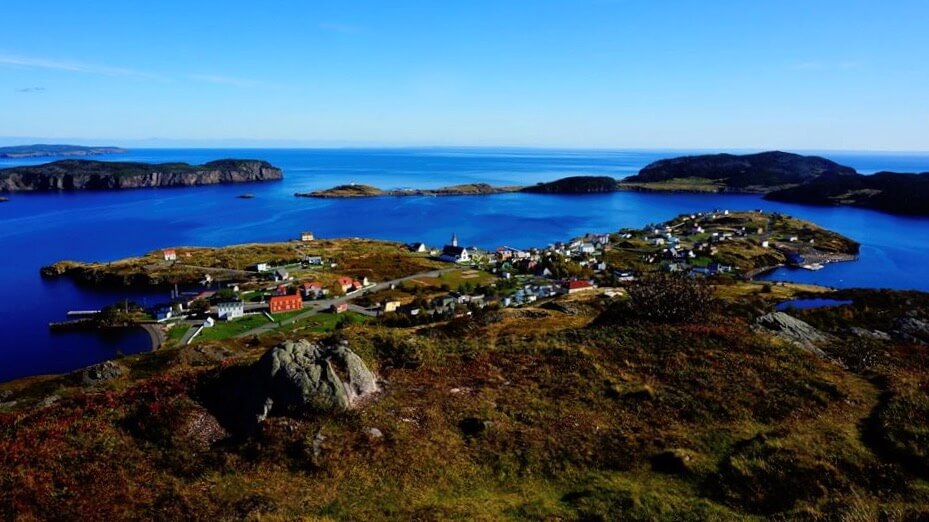
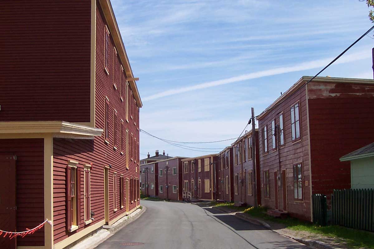
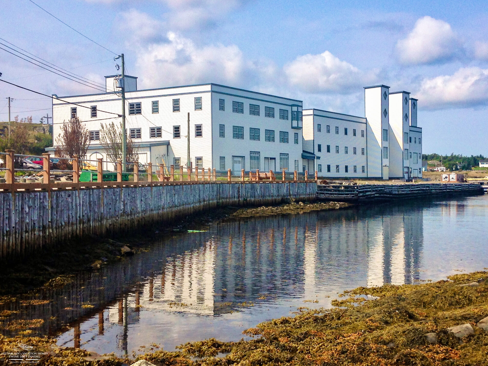
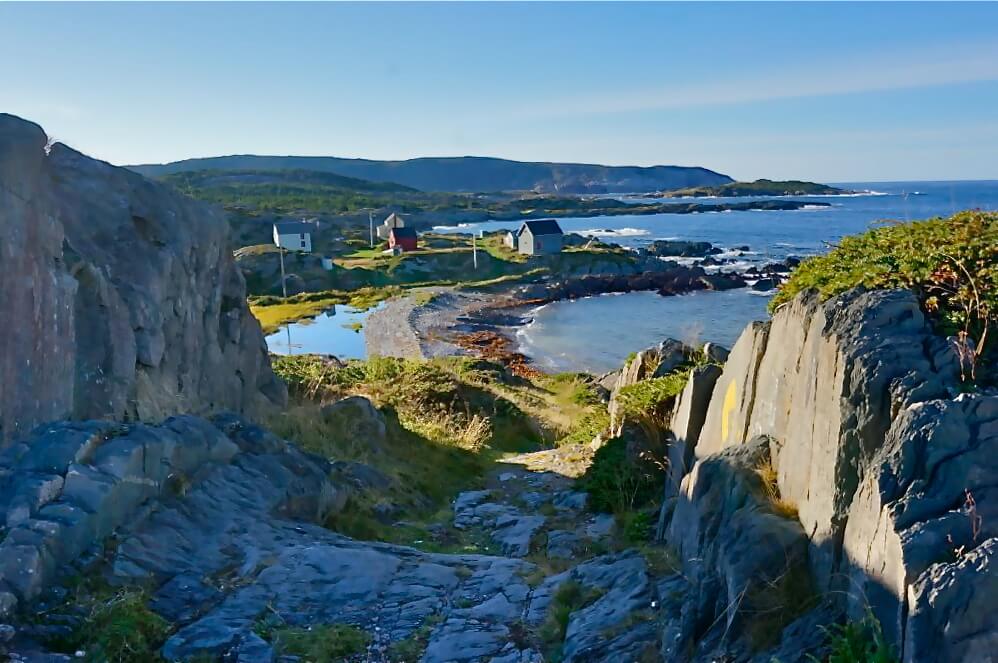
TRINITY, TRINITY BAY
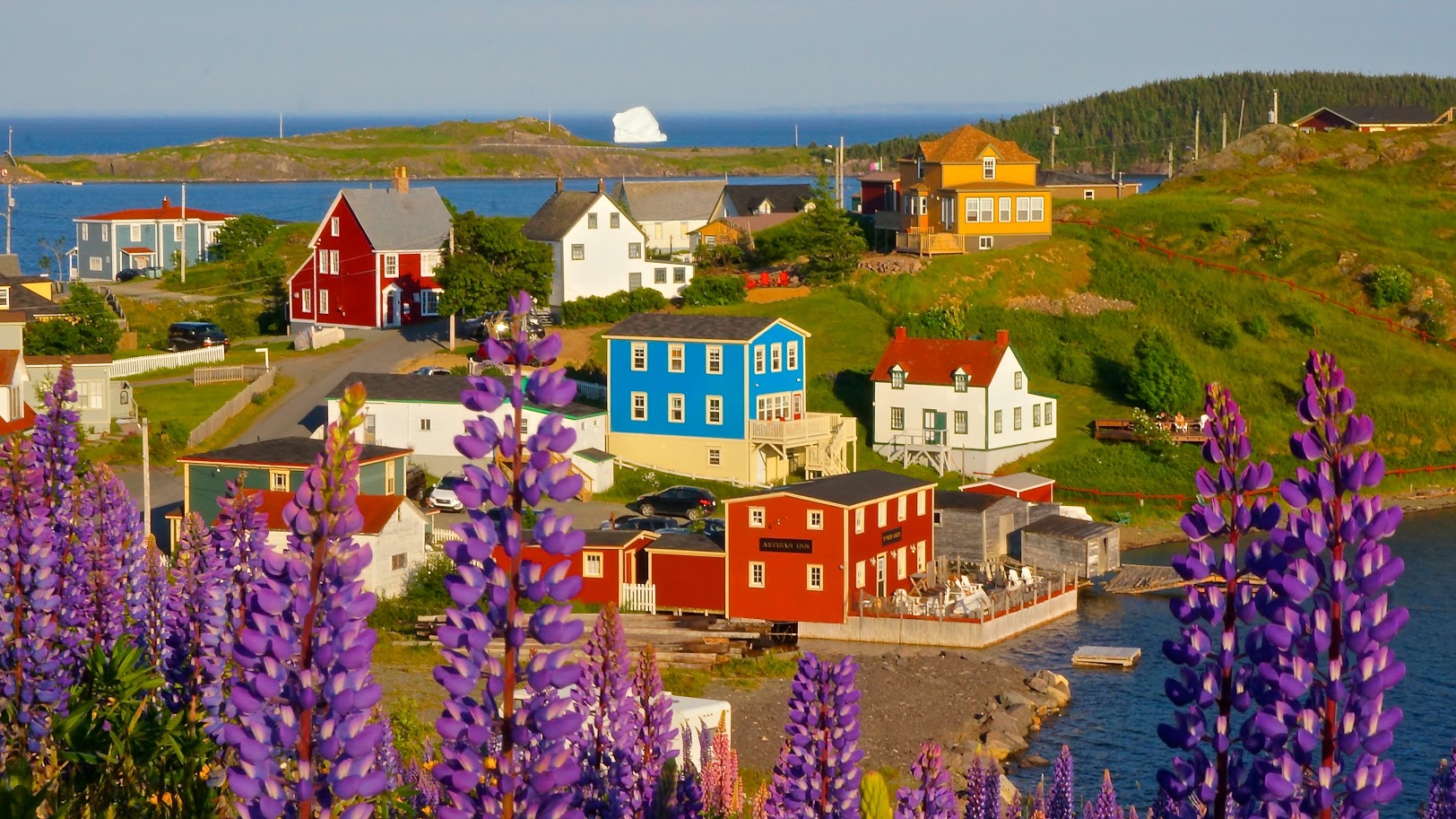
Digital Map of Trinity Courtesy of www.townoftrinity.com
🗺️ Getting to Trinity
Trinity is approximately 1 hour from the Trans-Canada Highway (Route 1). Take the exit for Route 230 near Clarenville.
You have two driving options:
-
Via Route 230 (direct from Highway 1):
-
Straightforward and efficient.
-
-
Via Route 230A through Clarenville:
-
Slightly more scenic.
-
Ideal if you plan to stop in Clarenville for supplies (larger grocery stores and a full-service NLC liquor store).
-
Time difference is minimal compared to the direct route.
-
Once on Route 230, drive 50.8 km, then turn right onto Route 239.
Continue for 3 km, then take the left-hand turn just after the bay to enter historic Trinity.
For more details about getting to the Artisan Inn visit our GETTING HERE section.
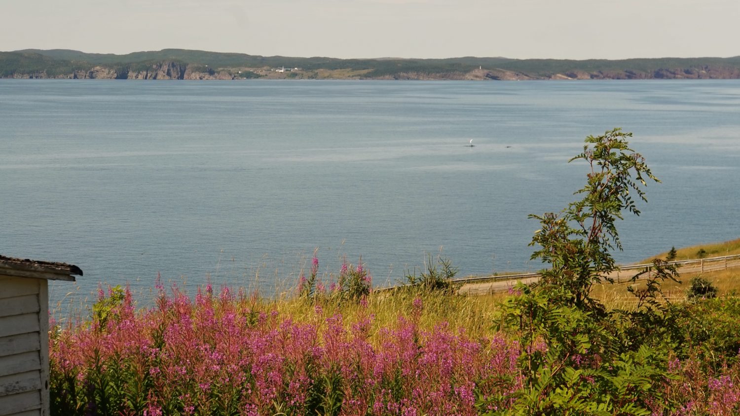
Trinity Highlights: 🔗 Visit Explore Trinity to learn more.
-
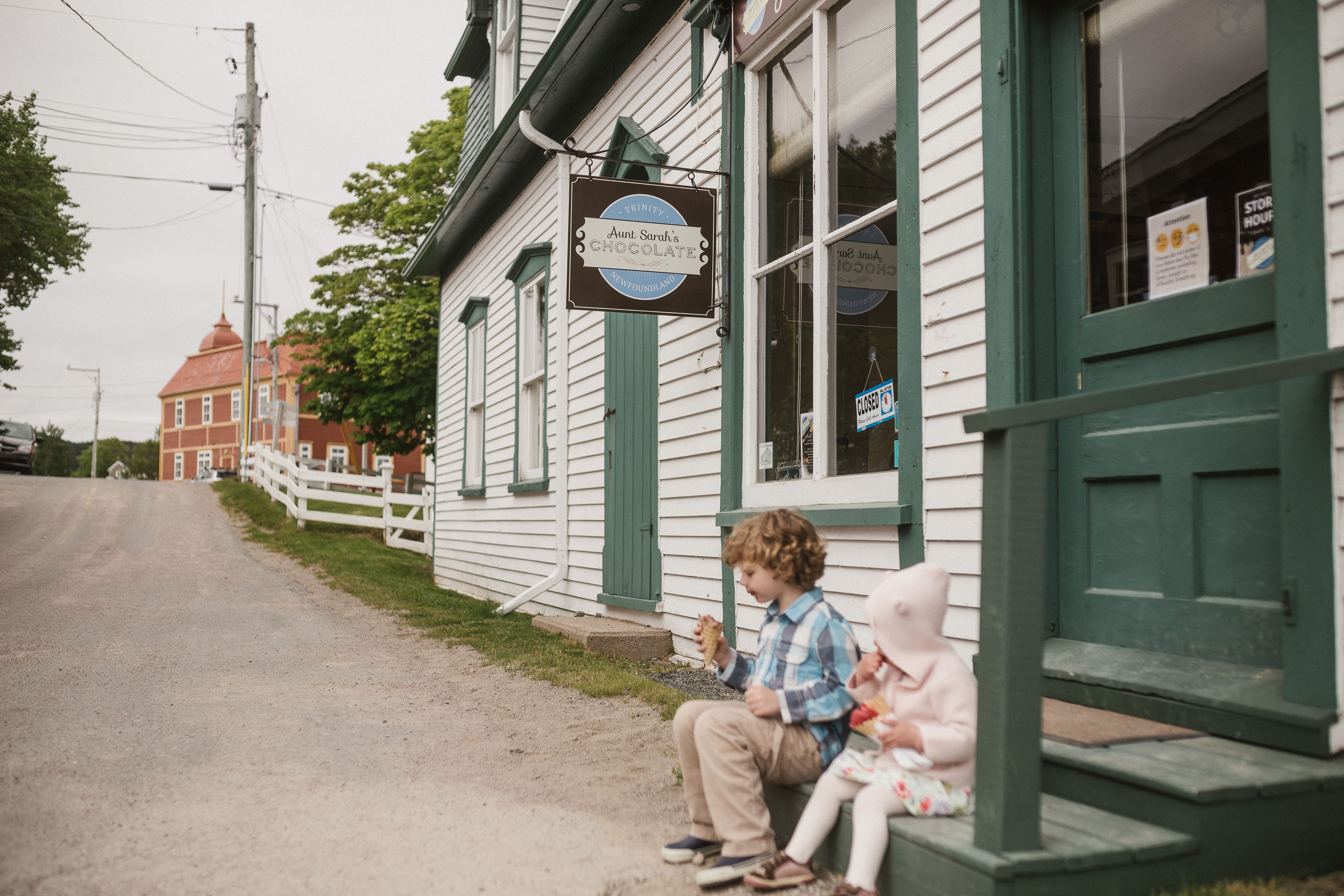
Local shopping
-
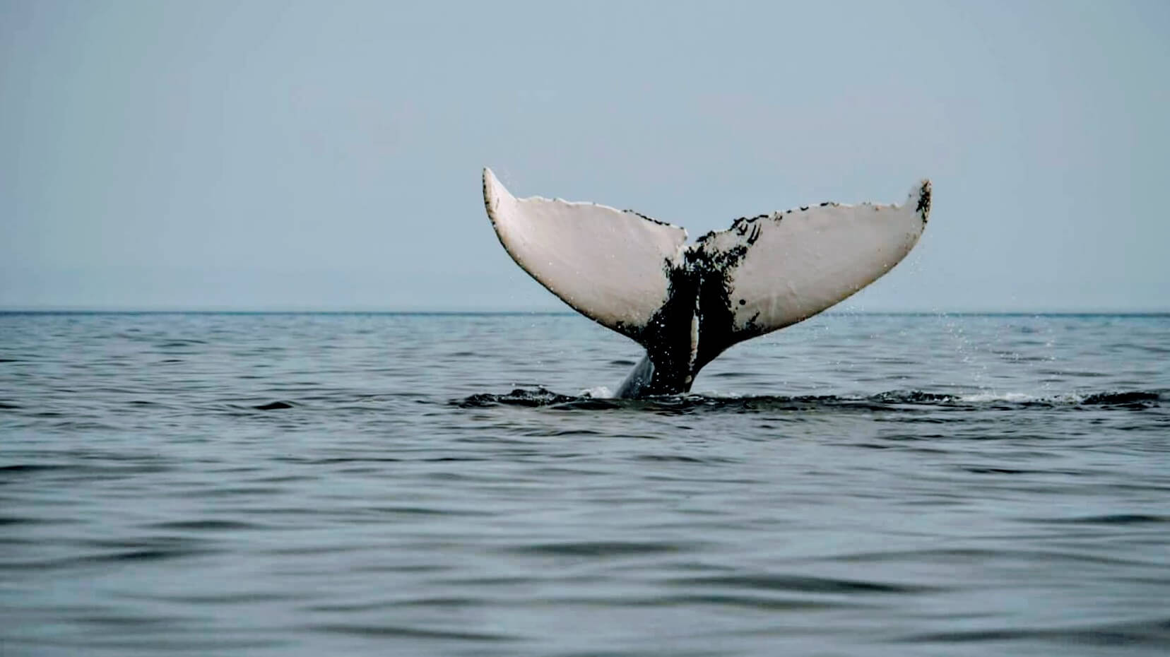
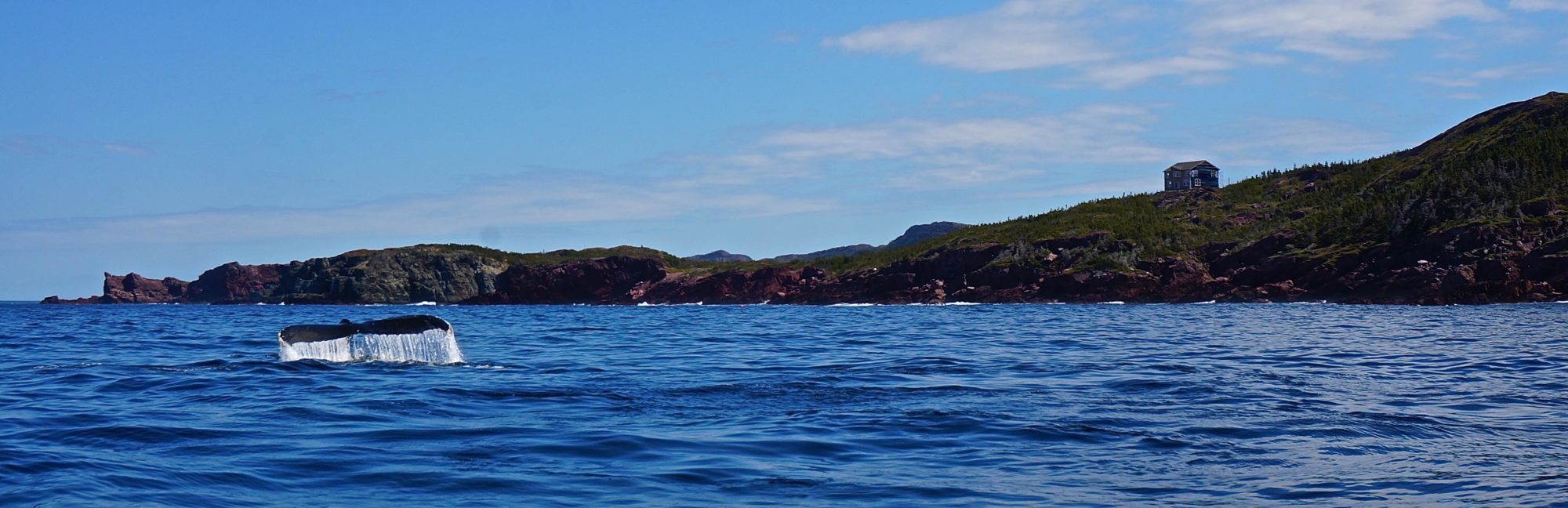
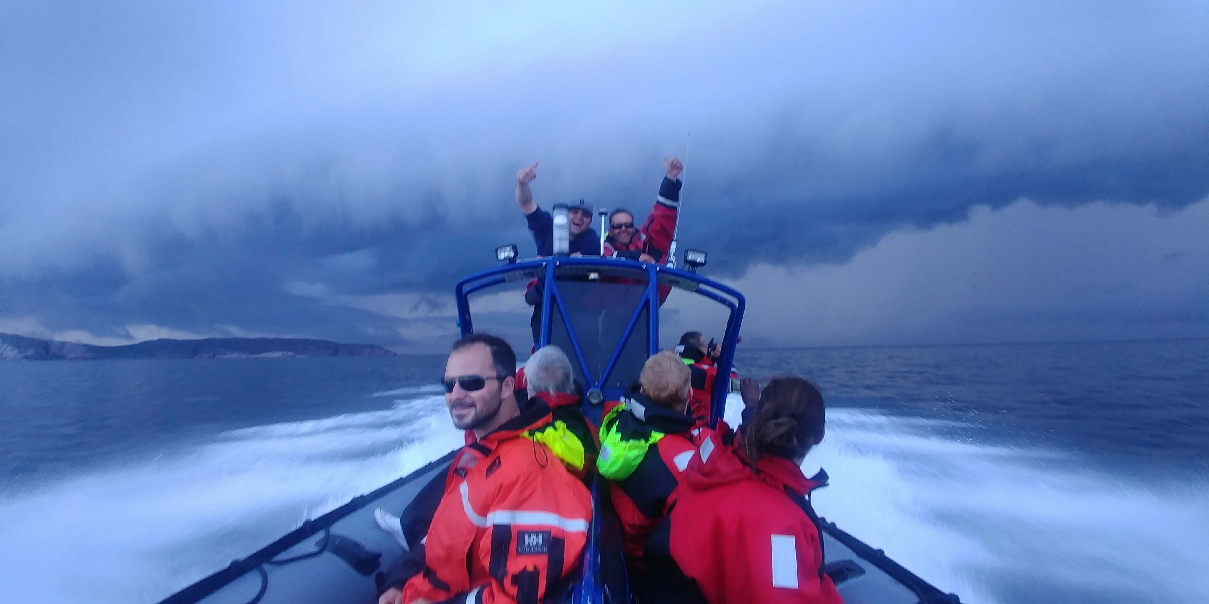
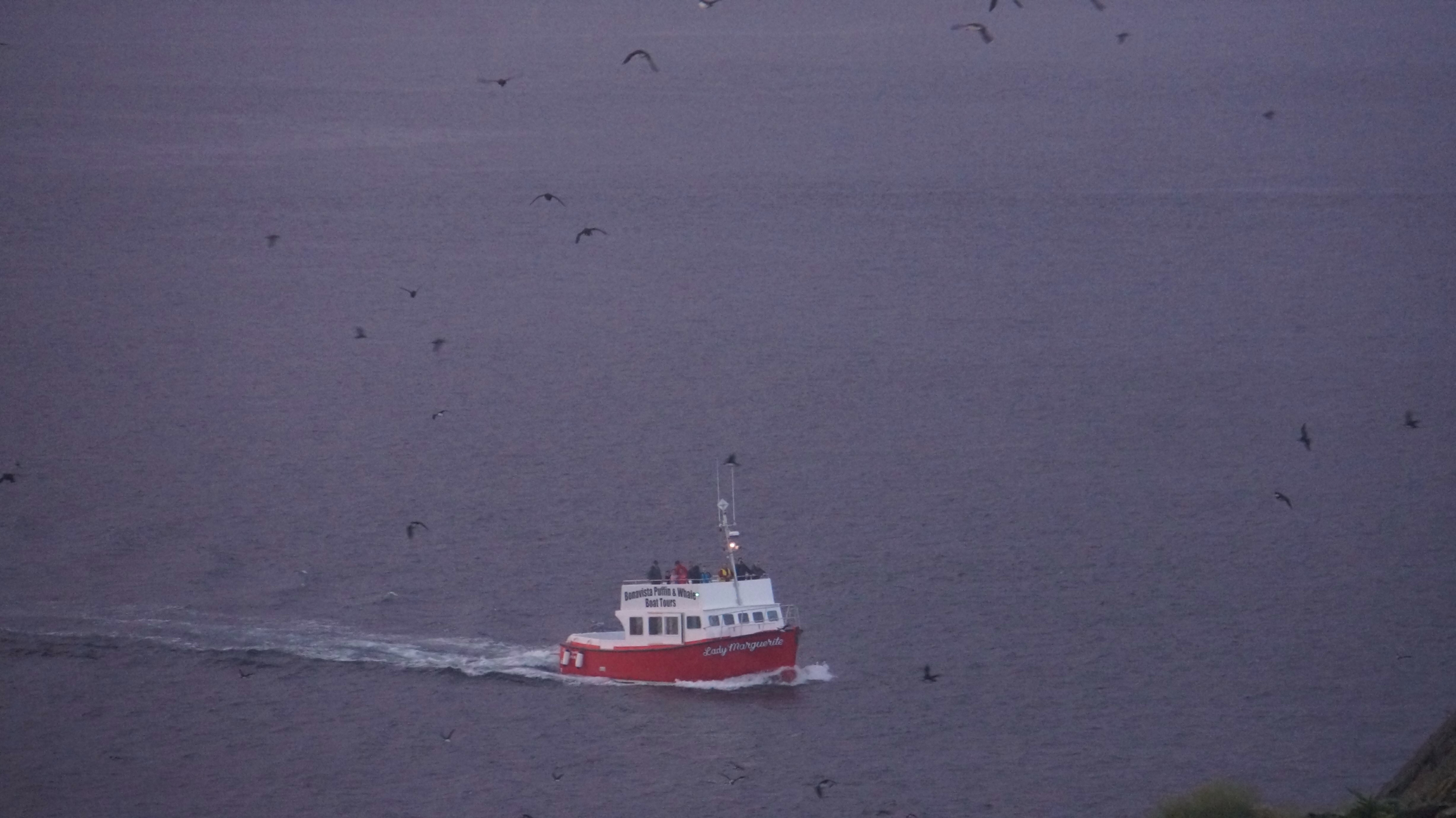
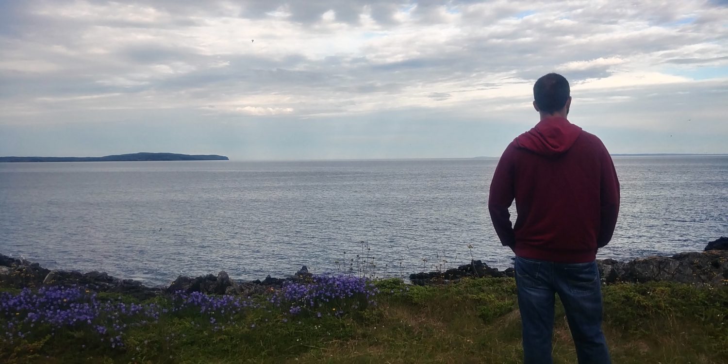
Whale watching tours
-
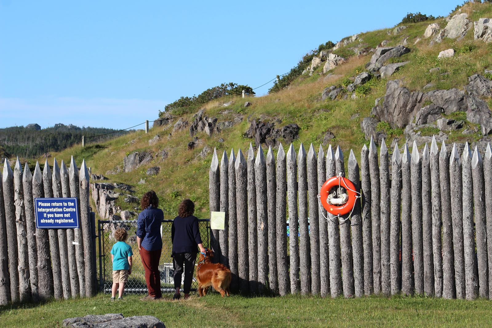
7 Provincial Historic Sites
-
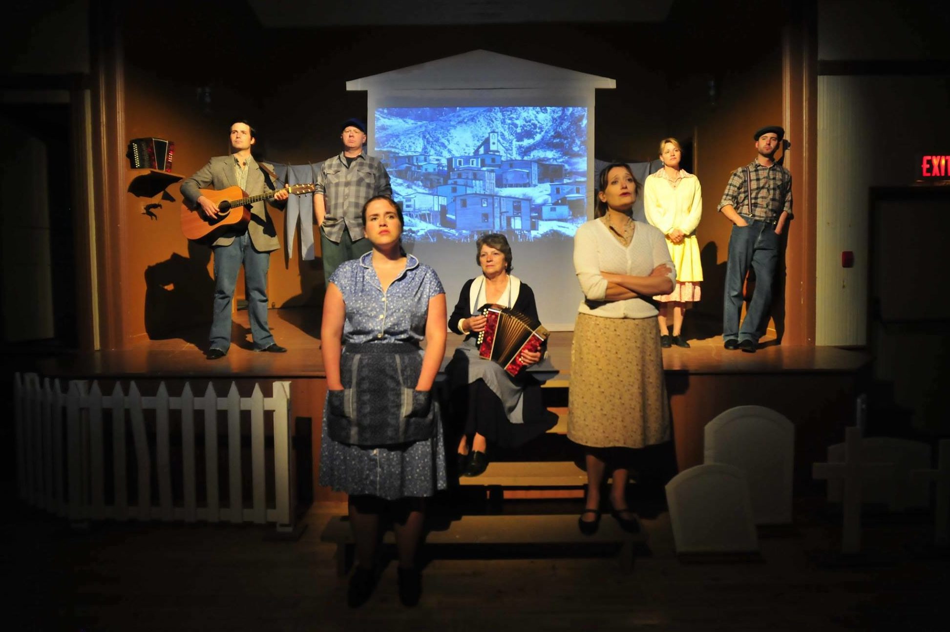
Rising Tide Theatre
-
Restaurants and cafés
-
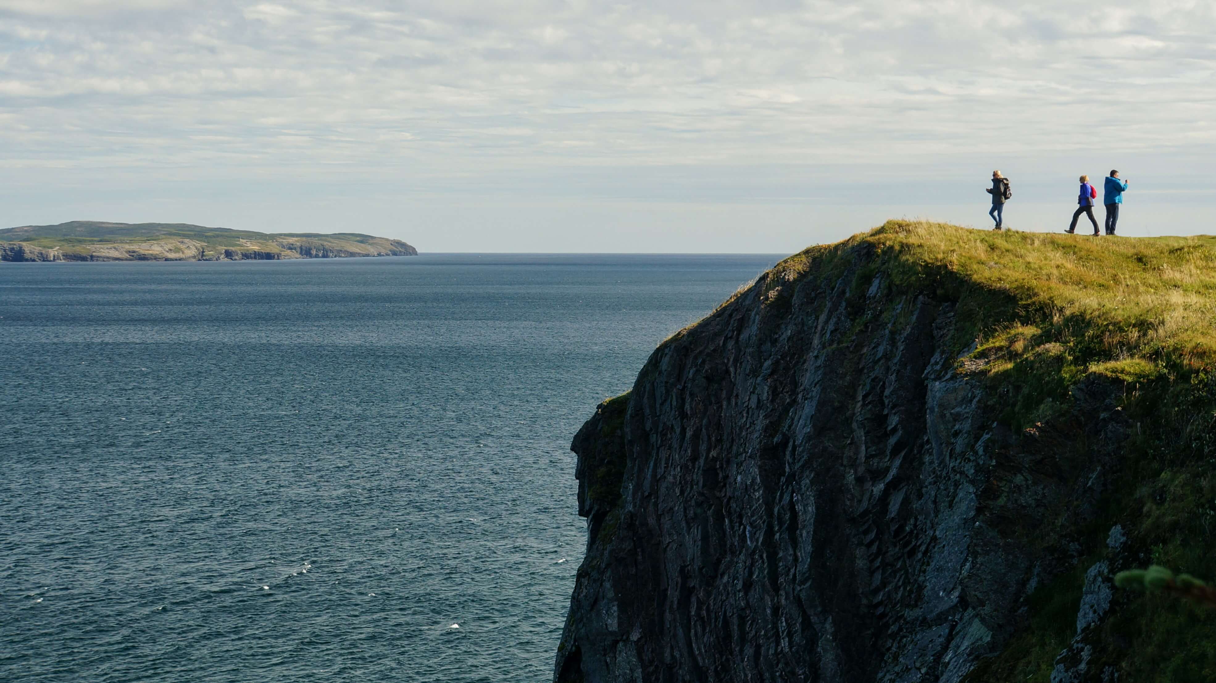
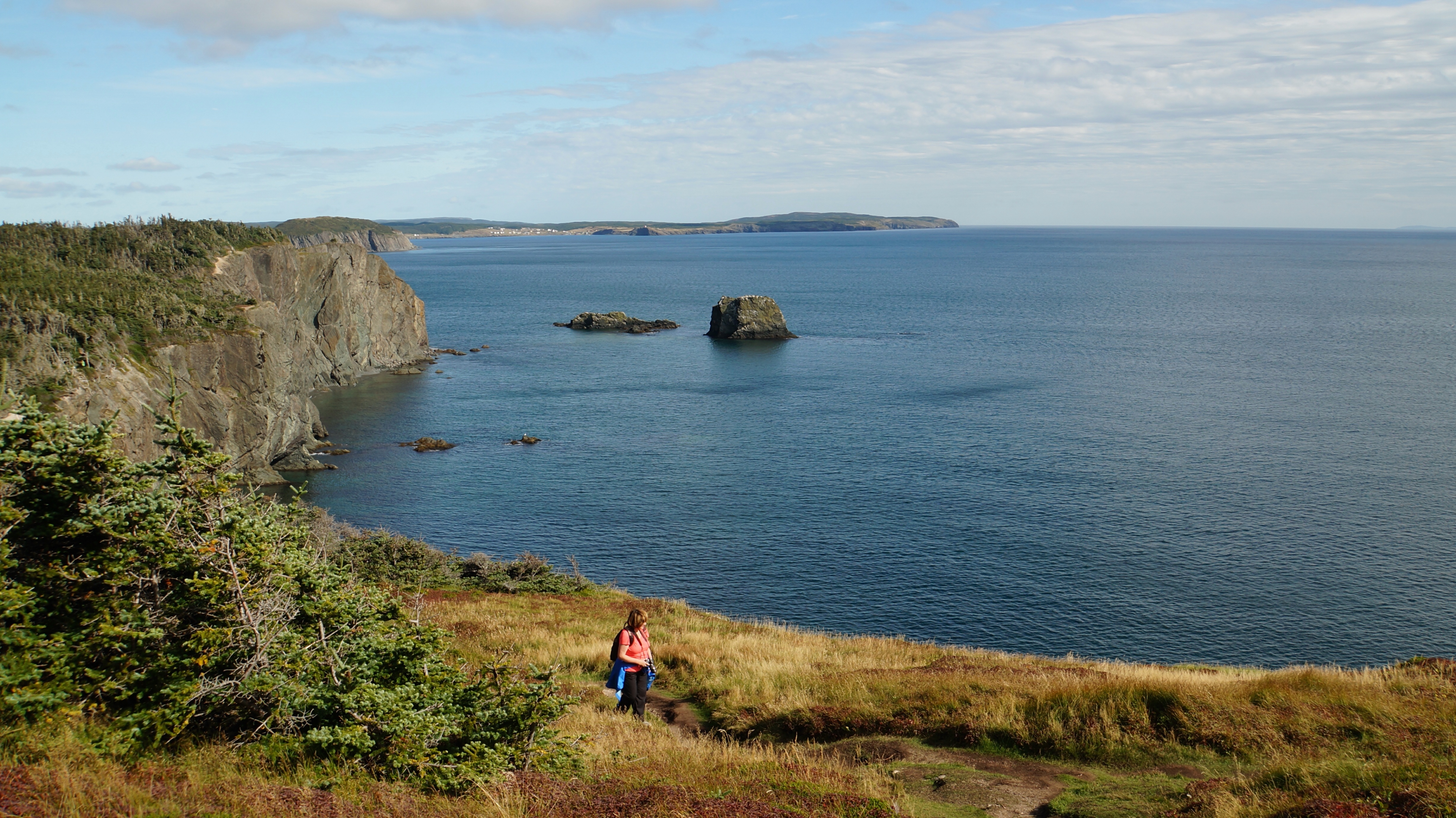
Gun Hill hiking trail
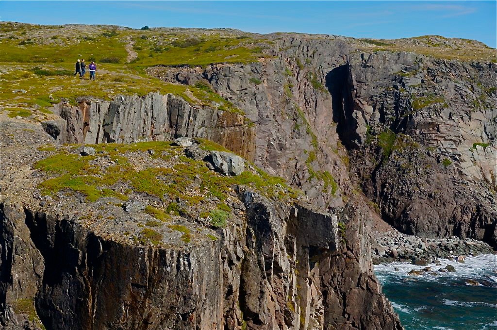
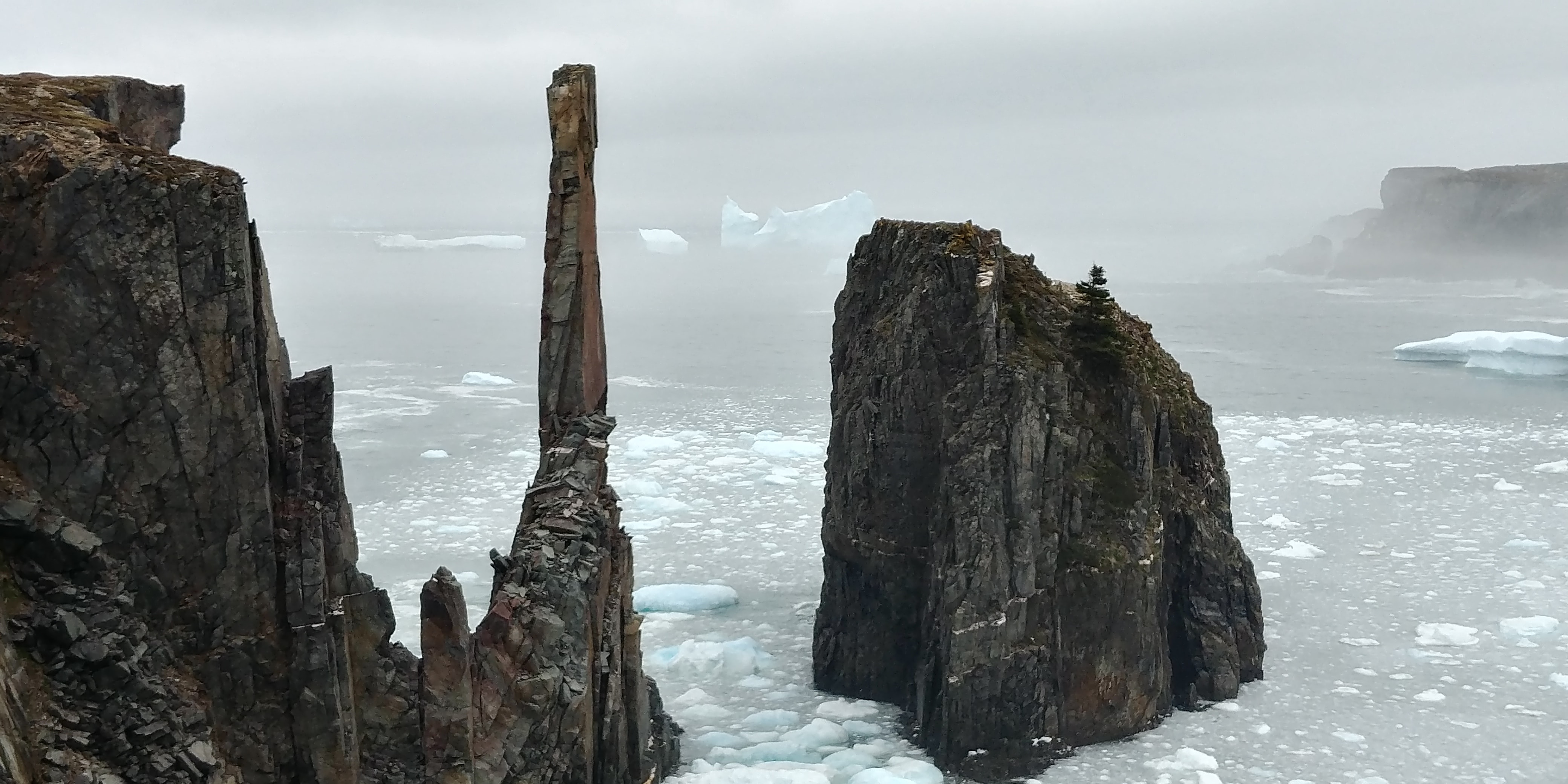
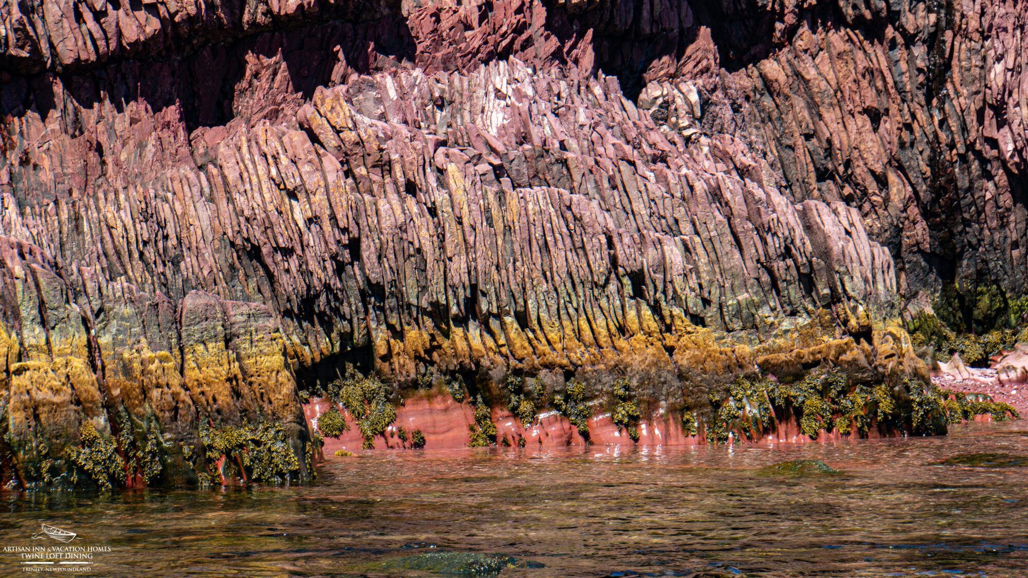
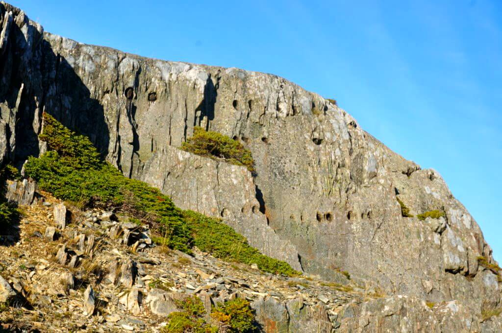
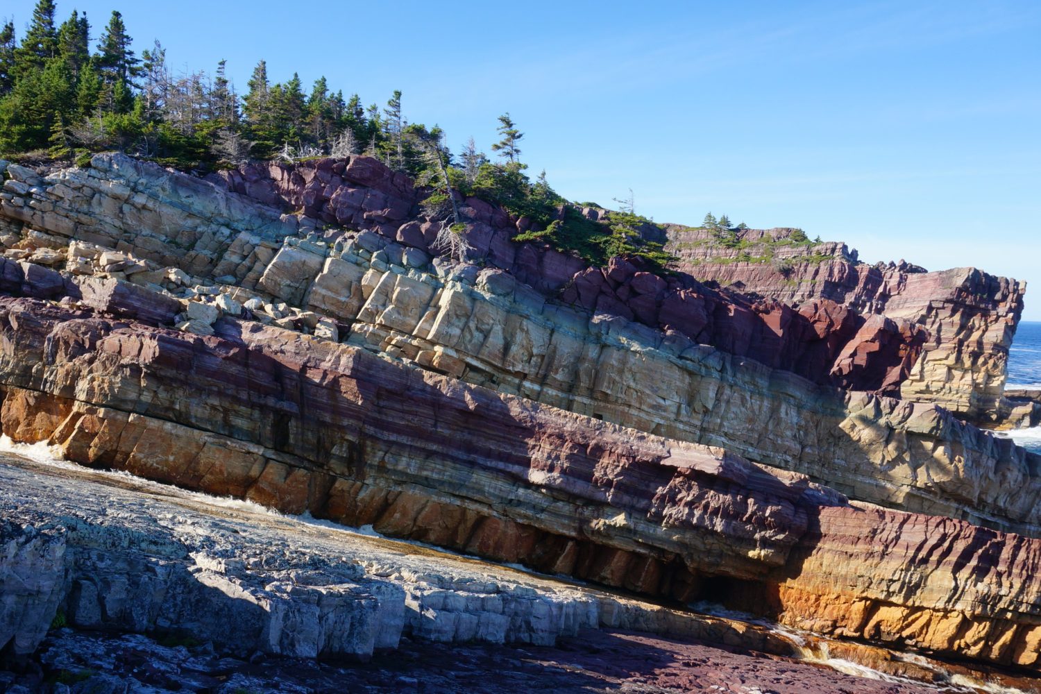
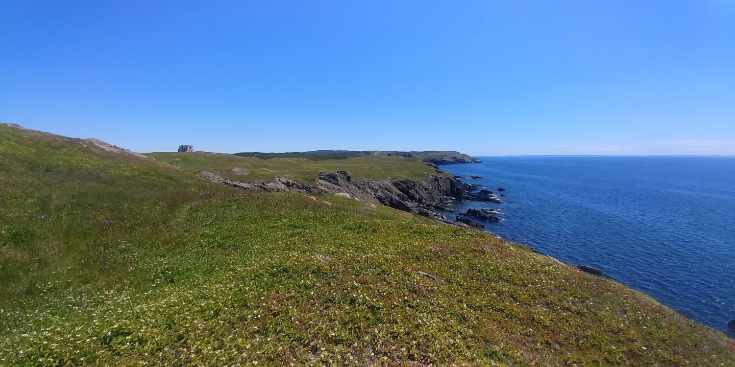
- Discovery UNESCO Global Geopark Geosite
-
Guided historical walking tours
The following communities located on Route 239, Route 230 and Route 235 are all easily accessible from Trinity ranging from 10 minutes to 50 minutes by vehicle.
SOUTH OF TRINITY on ROUTE 239
New Bonaventure
-
Distance: 25 minutes from Artisan Inn
-
Directions:
-
Take the sharp left hairpin turn at the Royal Bank to get onto Trinity Road.
-
Turn left onto Route 239 at the T-intersection.
-
New Bonaventure is at the end of the road, 15.8 km from Trinity.
-
-
Highlights:
-
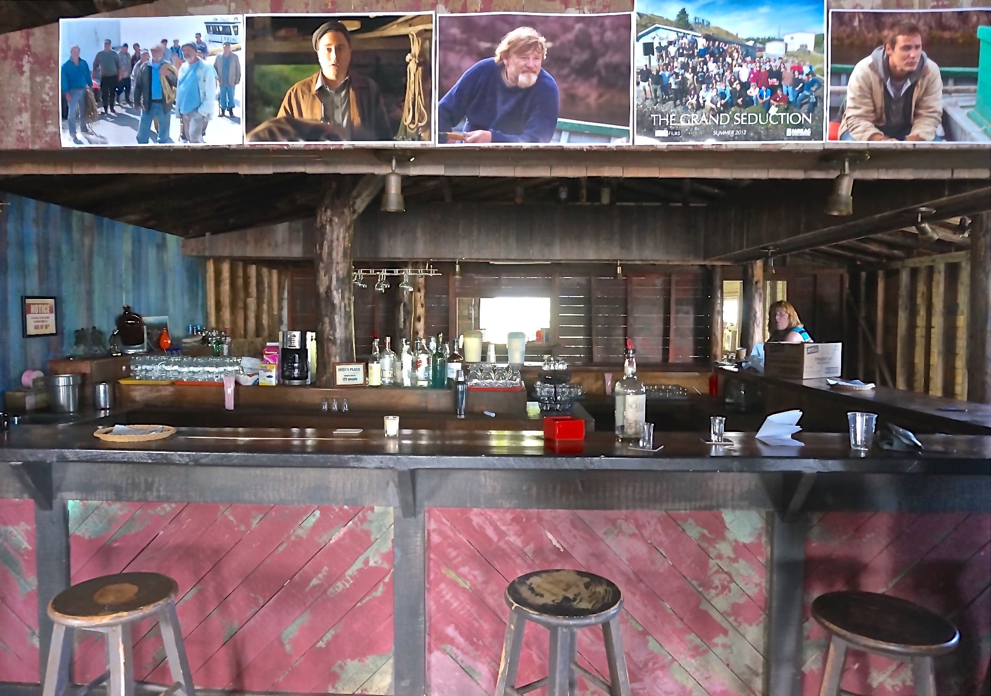
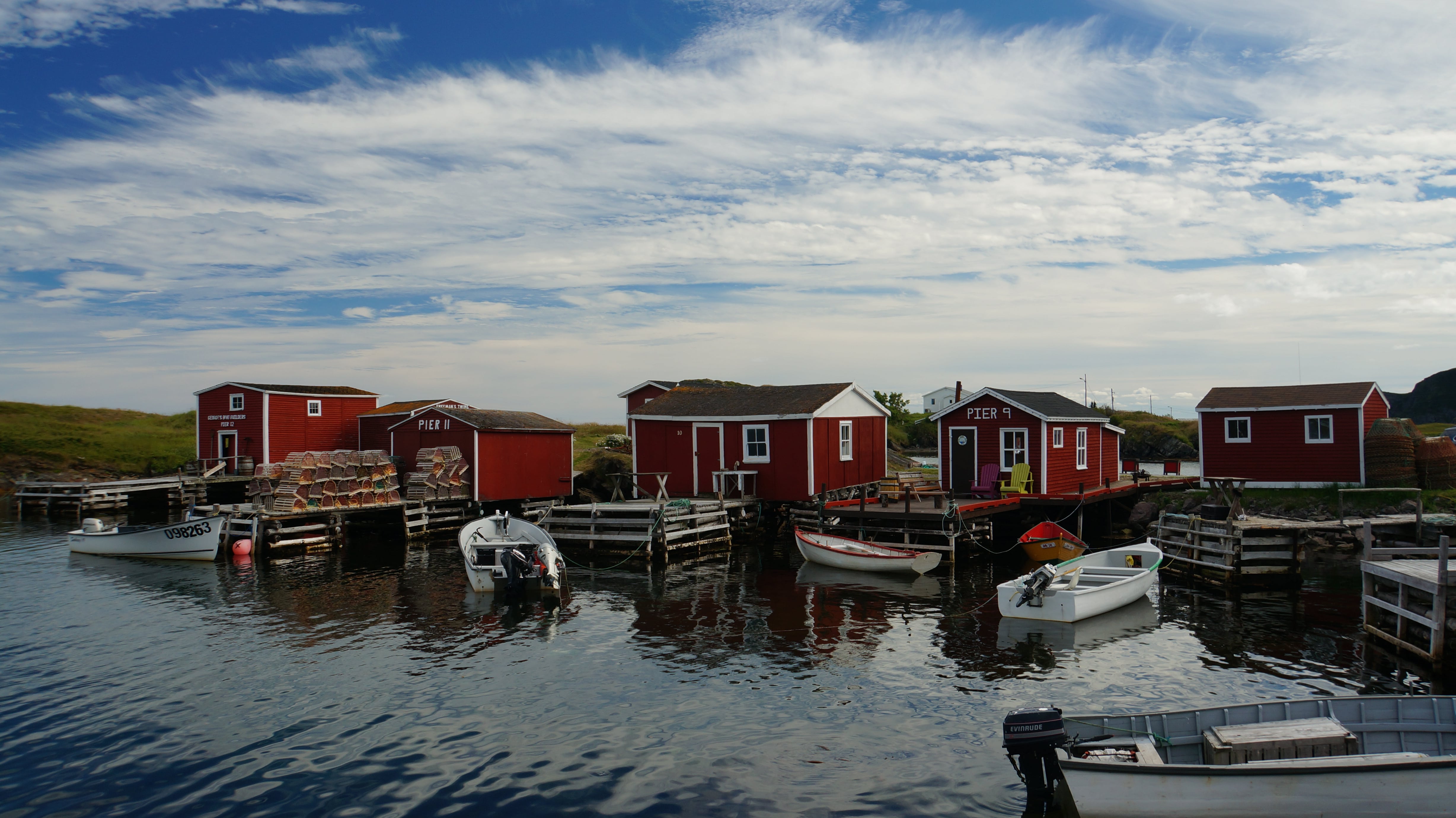
Random Passage, Grand Seduction, and Shipping News film sets
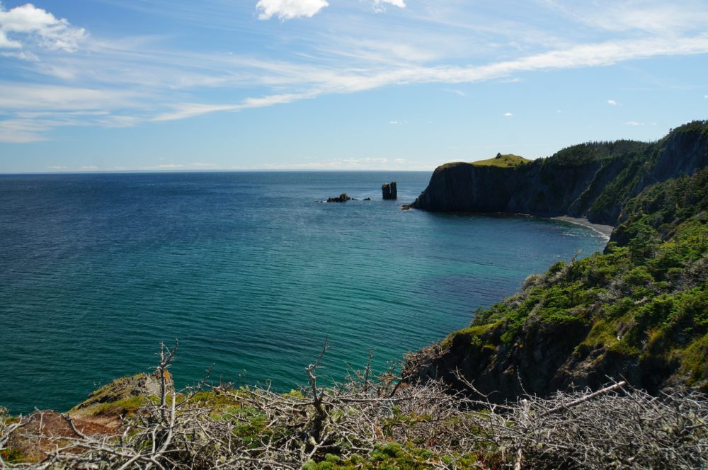
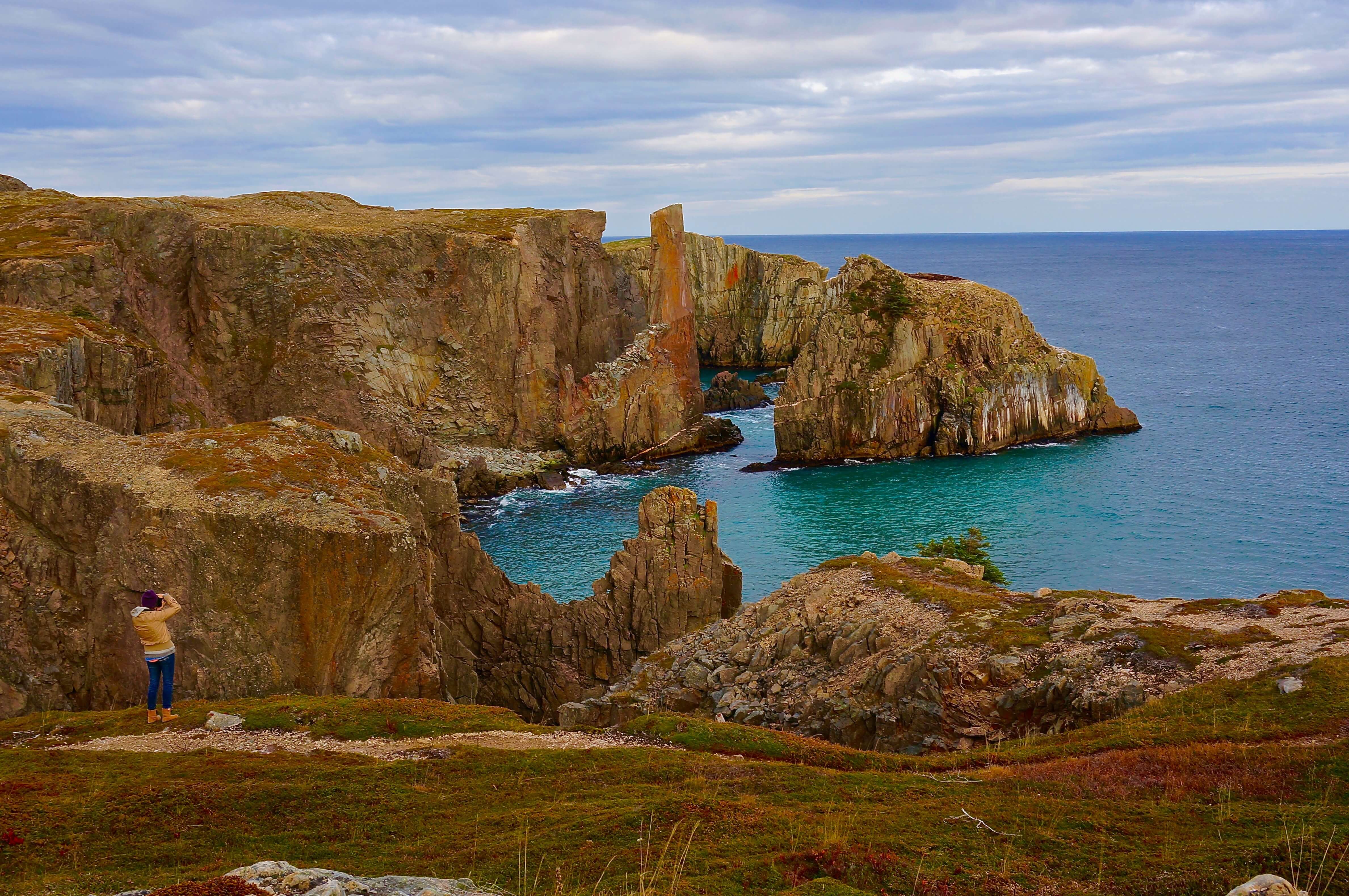
- Discovery UNESCO Global Geopark Geosite
-
Fort Point
-
Distance: 19 minutes from Artisan Inn
-
Directions:
-
Take the sharp left hairpin turn at the Royal Bank to get onto Trinity Road.
-
Drive 1.9 km, then turn left onto Main Road/Route 239.
-
Drive 2.7 km, then turn left at Dunfield.
-
Continue for 4 km.
-
-
Highlights:
-
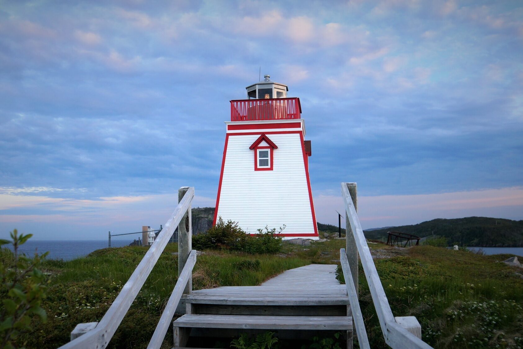
Fort Point Lighthouse and Interpretation Centre
- Peter Pan & Wendy Filming Location
-
Whale spotting (during feeding months)
-
NORTH of TRINITY on ROUTE 230
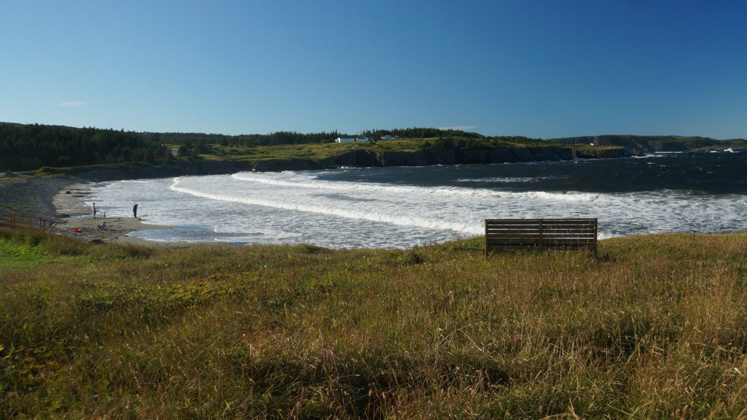
Port Rexton/Trinity East
-
Distance: 13 minutes from Artisan Inn
-
Directions:
-
Take the sharp left hairpin turn at the Royal Bank to get onto Trinity Road.
-
Turn right onto Route 239 at the T-intersection.
-
Drive 3.6 km, then turn right onto Route 230.
-
Drive 4.5 km (5 minutes) to Port Rexton.
-
At the bright yellow gas station, turn right onto Rocky Hill Road.
-
Drive 1.9 km to reach Trinity East and the start of the Skerwink Trail.
-
To reach Port Rexton Brewery, turn left off Rocky Hill Road onto Station Road.
-
-
Highlights:
-
Port Rexton Brewery
-
Skerwink Trail
-
Two Whales Vegetarian Coffee Shop
-
English Harbour
-
Distance: 19 minutes from Artisan Inn
-
Directions:
-
Take the sharp left hairpin turn at the Royal Bank to get onto Trinity Road.
-
Turn right onto Route 239 at the T-intersection.
-
Drive 3.6 km, then turn right onto Route 230.
-
Drive 5.9 km, then turn right at the English Harbour sign.
-
Drive 4.9 km to reach English Harbour.
-
-
Highlights:
-
English Harbour Arts Centre
-
Horsechops (great for whale watching during feeding season)
-
Champney’s West
-
Distance: 18 minutes from Artisan Inn
-
Directions:
-
Take the sharp left hairpin turn at the Royal Bank to get onto Trinity Road.
-
Turn right onto Route 239 at the T-intersection.
-
Drive 3.6 km, then turn right onto Route 230.
-
Drive past Port Rexton, passing Two Whales Coffee Shop, and take the next right to Champney’s West.
-
Stay right at the fork, drive 7.2 km.
-
-
Highlights:
-
Fox Island Hiking Trail
-
Champney’s West Aquarium
-
Port Union

-
Distance: 30 minutes from Artisan Inn
-
Directions:
-
Take the sharp left hairpin turn at the Royal Bank to get onto Trinity Road.
-
Turn right onto Route 239 at the T-intersection.
-
Drive 3.6 km, then turn right onto Route 230.
-
Continue driving for 27.9 km (approx. 25 minutes).
-
-
Highlights:
-
Murphy’s Cove Lodges Pond Trail
-
The Factory Historic Site
-
Discovery UNESCO Global Geopark geosite
-
-
Elliston & Maberly
-
Distance: 45 minutes from Artisan Inn
-
Directions (from Route 230):
-
Take the sharp left hairpin turn at the Royal Bank to get onto Trinity Road.
-
Turn right onto Route 239 at the T-intersection.
-
Drive 3.6 km, then turn right onto Route 230.
-
Drive 39.7 km, then take the Route 238 turn-off on your right.
-
Drive 6.3 km to reach Elliston.
-
-
Alternative (from Bonavista):
-
Continue on the main road, then turn right at the Spillar’s Cove sign.
-
Drive 7.1 km to reach Elliston.
-
-
Highlights:
-
Home From the Sea Sealers Museum
-
Sealer’s Memorial Statue
-
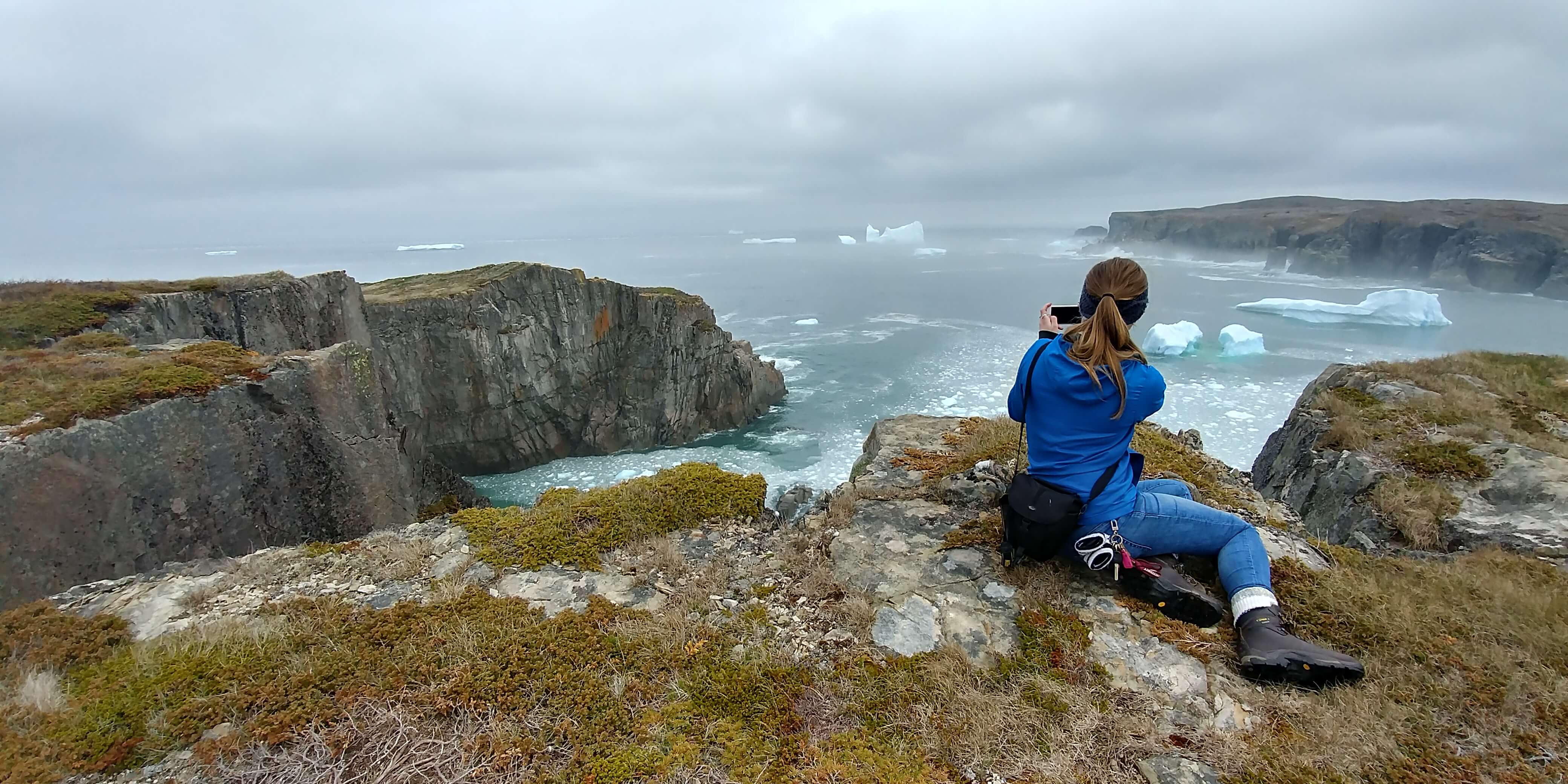
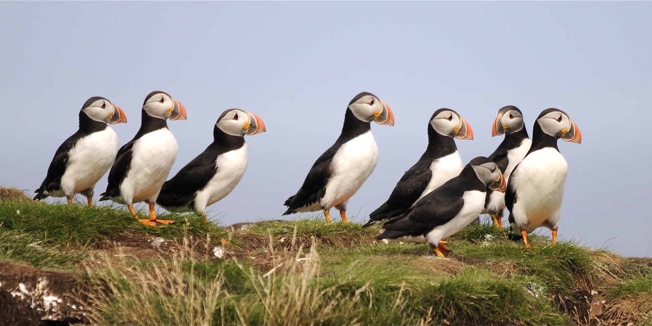
Puffin Viewing Site
- Discovery UNESCO Global Geopark geosite
-
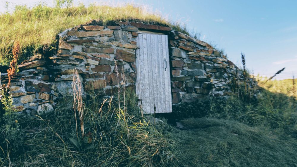
Root Cellar Capital of the World
-
Discovery UNESCO Global Geopark geosite
-
-
Bonavista
-
Distance: 45 minutes from Artisan Inn
-
Directions:
-
Take the sharp left hairpin turn at the Royal Bank to get onto Trinity Road.
-
Turn right onto Route 239 at the T-intersection.
-
Drive 3.6 km, then turn right onto Route 230.
-
Drive 37.7 km (approx. 40 minutes) to enter Bonavista.
-
-
Highlights:
-
Ryan Premises National Historic Site
-
The Matthew
-
Cape Bonavista Lighthouse
-
Puffin viewing in season
-
-
Shopping
-
Cape Shore Hiking Trail
-
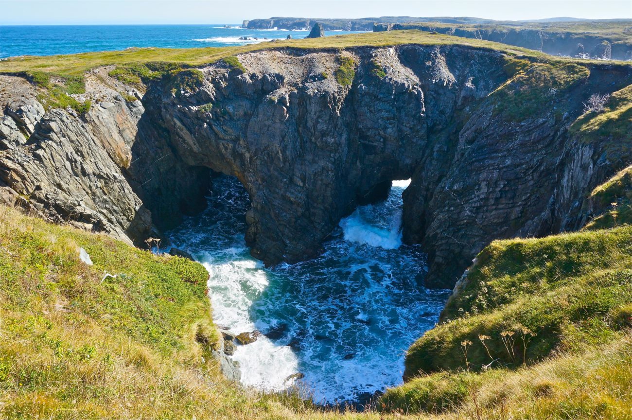
The Dungeon
-
Discovery UNESCO Global Geopark geosite
-
-
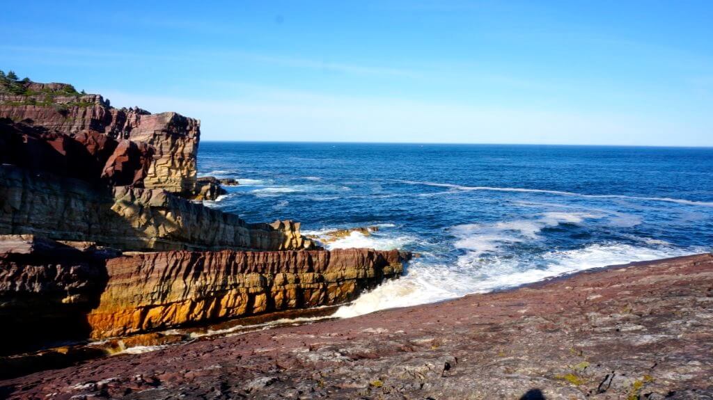
Spillars Cove
-
Distance: 49 minutes from Artisan Inn
-
Directions:
-
Take the sharp left hairpin turn at the Royal Bank to get onto Trinity Road.
-
Turn right onto Route 239 at the T-intersection.
-
Drive 3.6 km, then turn right onto Route 230.
-
Drive 37 km, then turn right at the Spillar’s Cove sign.
-
Drive 2.4 km past Crewe’s Garage.
- Please park your vehicle where the pavement ends and do not attempt to drive on the dirt road. This will contribute to the erosion of a geologically significant area of our peninsula and makes it difficult for hikers to proceed safely.
-
-
Highlights:
-
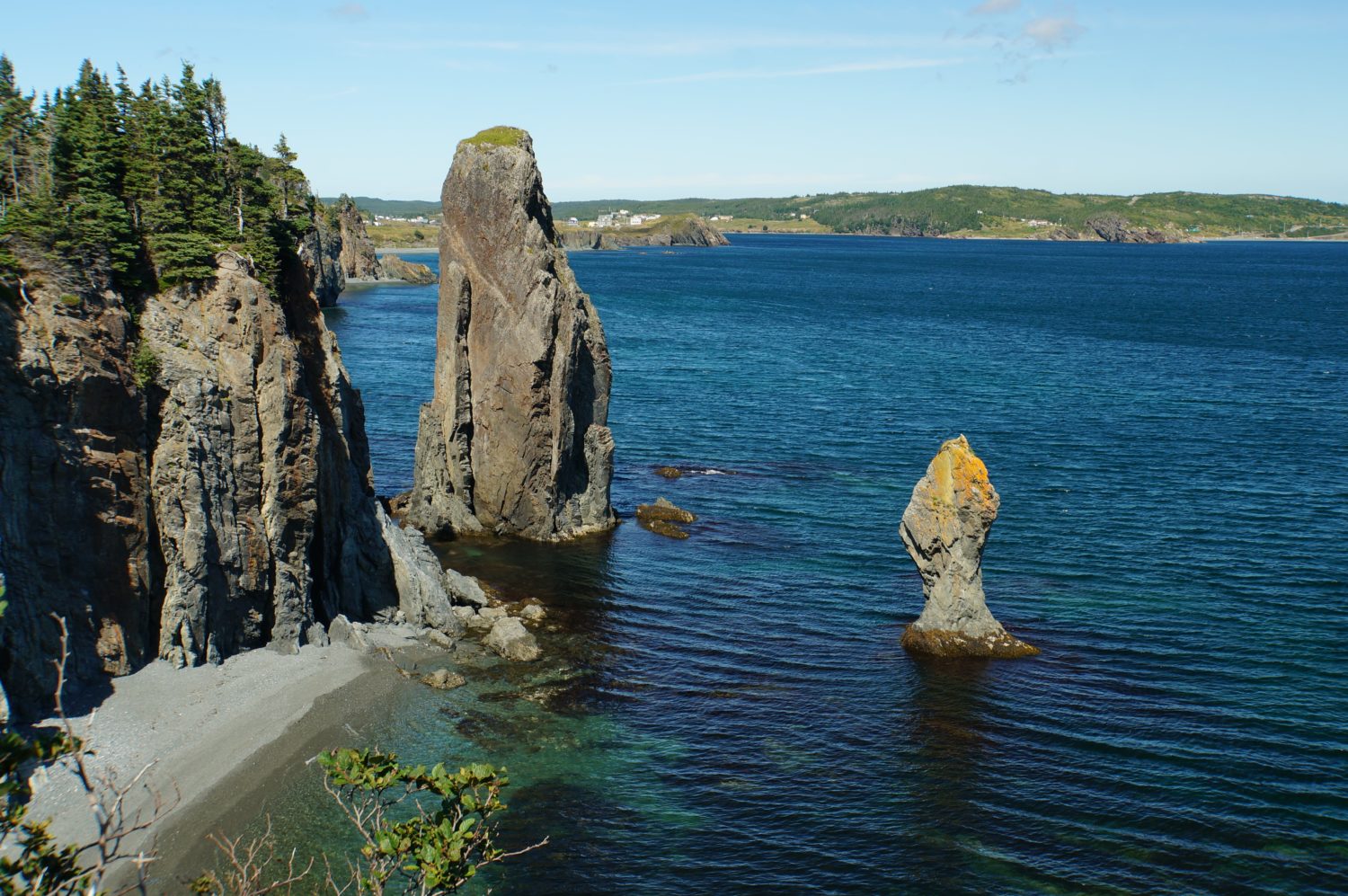
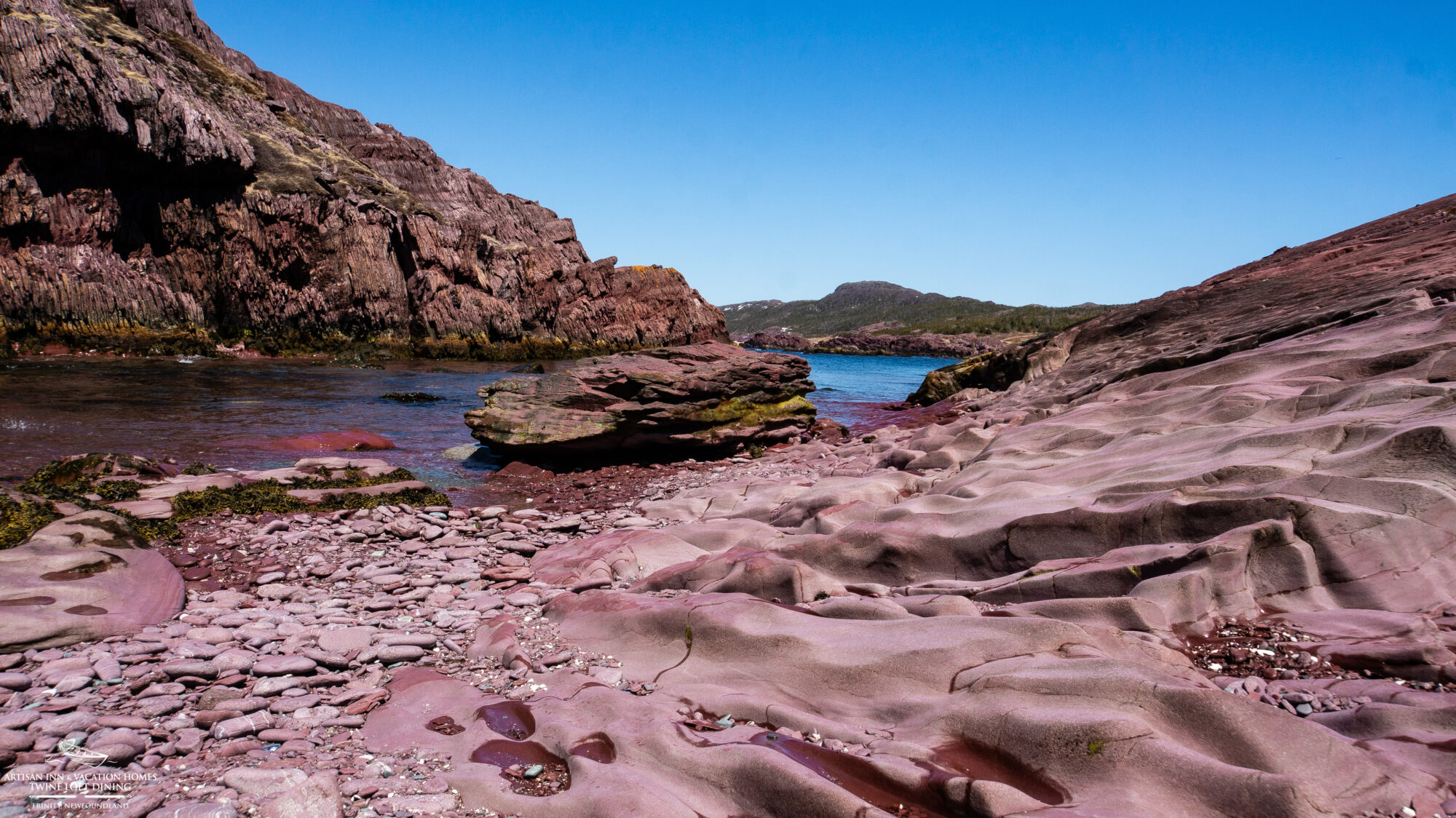
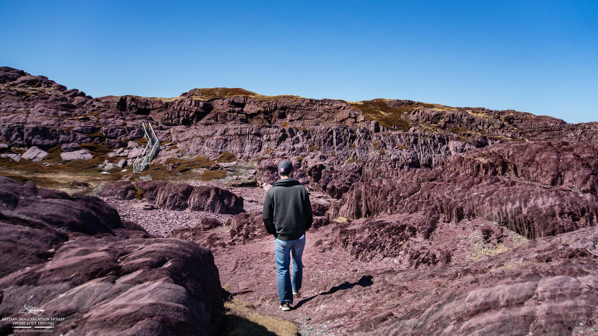
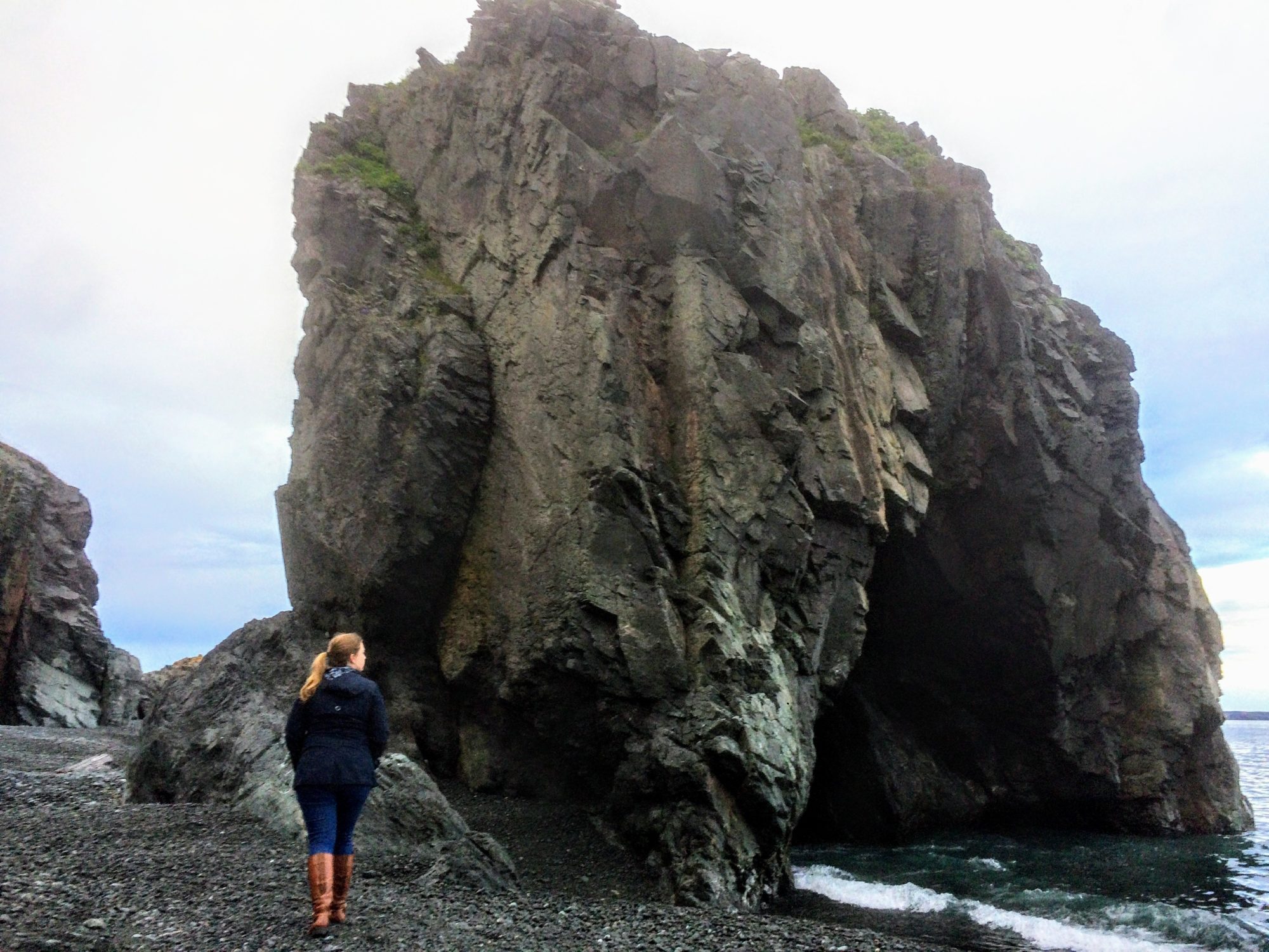
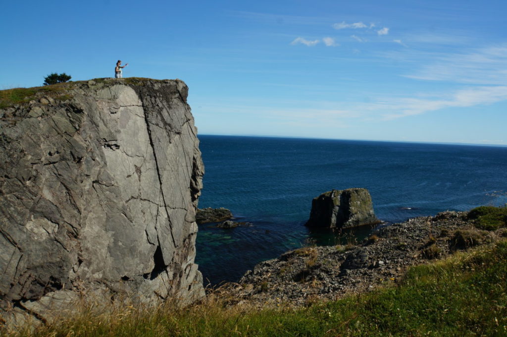
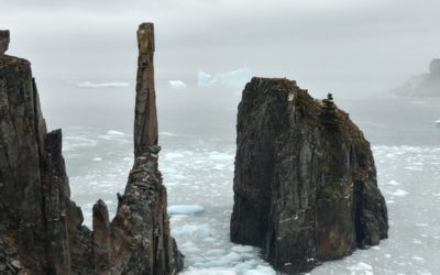
Spillar’s Cove Sea Stacks
-
Discovery UNESCO Global Geopark geosite
-
- Peter Pan & Wendy Filming Locations
-
Route 235 Communities
The Bonavista Peninsula forms a loop, with Route 235 being the opposite side of the loop to Route 230. You can visit these communities either on your way to Bonavista or on your way back. These directions are for visiting them on your way to Bonavista. We recommend avoiding Route 236, as it is a dirt road that may not be suitable for rental vehicles.
Open Hall, Red Cliff, Tickle Cove
-
Distance: 40 minutes from Trinity
-
Directions:
-
Take the sharp left hairpin turn at the Royal Bank to get onto Trinity Road.
-
Turn right onto Route 239 at the T-intersection, and drive 3.6 km.
-
Turn left onto Route 230 at the T-intersection.
-
Drive 25.3 km (21 minutes), then turn right onto Route 235.
-
Drive another 25.3 km (25 minutes) to the left turn for Open Hall (a few minutes past Plate Cove East).
-
-
To reach Red Cliff: Continue driving 2.4 km (3 minutes).
-
To reach Tickle Cove: Continue driving 2.5 km (5 minutes).
-
The turn-off for the Tickle Cove Sea Arch is a right turn just before the community’s boat slipway. If you pass the slipway, you’ve gone too far.
-
-
Highlights:
-
Paul Dolk Photography Studio
-
Filming locations for Grand Seduction & Severance Season 2
- Tickle Cove Sea Arch
- Discovery UNESCO Global Geopark geosite
-
King’s Cove, Duntara & Keels
King’s Cove, Duntara & Keels
-
Distance: 45 minutes from the Artisan Inn
-
Directions:
-
Take the sharp left hairpin turn at the Royal Bank to get onto Trinity Road.
-
Turn right onto Route 239 at the T-intersection, and drive 3.6 km.
-
Turn left onto Route 230 at the T-intersection.
-
Drive 26 km (21 minutes) to the Route 235 turn-off and turn right.
-
Drive 31.6 km (28 minutes) to reach King’s Cove.
-
-
To visit Duntara: Turn left at King’s Cove and drive 5.2 km (7 minutes).
-
To visit Keels: Turn left at King’s Cove and drive 8.5 km (14 minutes).
-
Highlights:
-
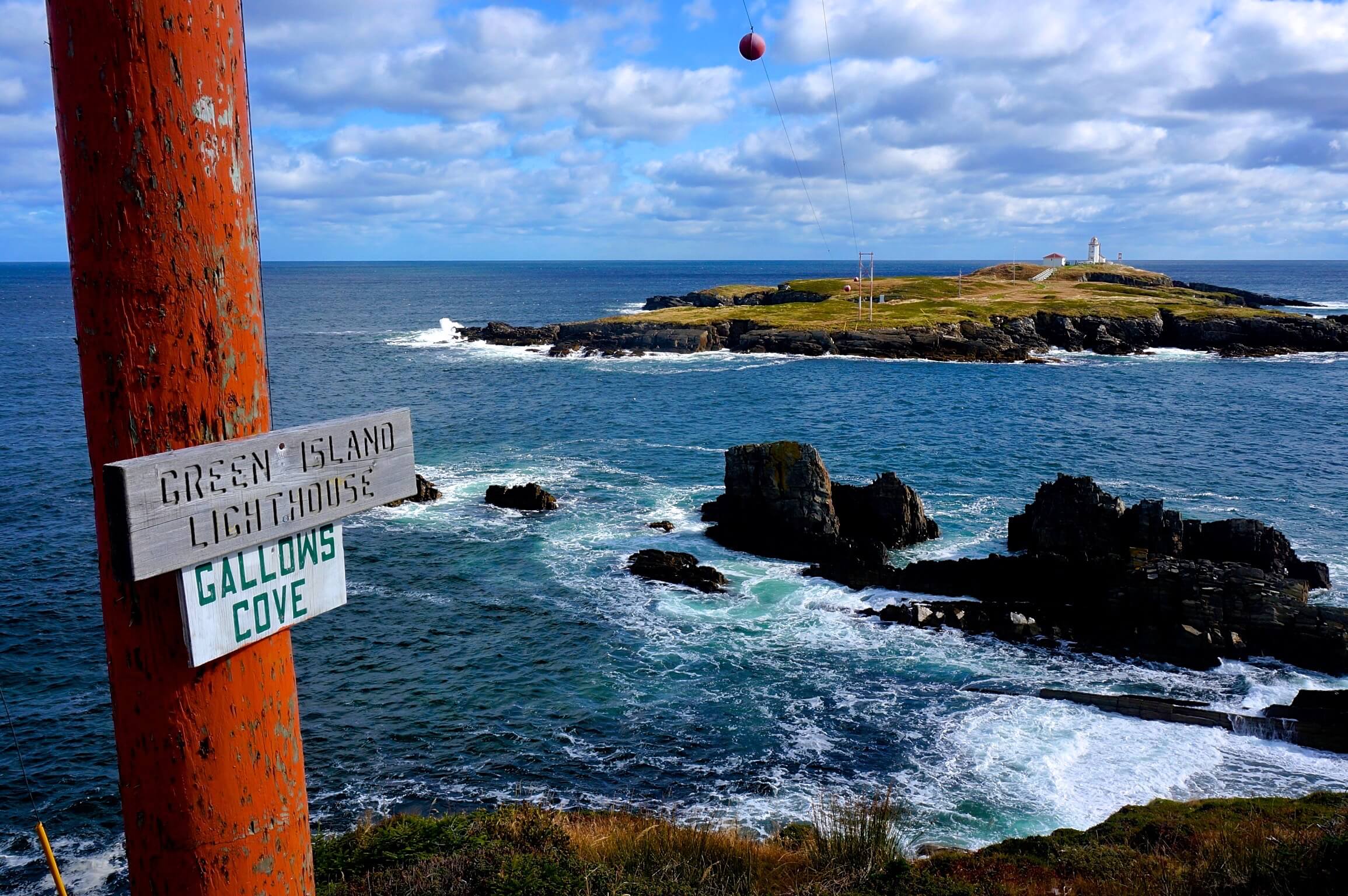
Lighthouse Hiking Trail in King’s Cove
- Discovery UNESCO Global Geopark geosite
-
Devil’s Footprints in Keels
- Discovery UNESCO Global Geopark geosite
-
Two Rooms Contemporary Art Gallery in Duntara
-
Upper Amherst Cove
-
Distance: 45 minutes from the Artisan Inn
-
Directions (from Route 235 communities):
-
Continue driving 18 km (18 minutes) north to reach Upper Amherst Cove.
-
-
Directions (direct from Trinity):
-
Take the sharp left hairpin turn at the Royal Bank to get onto Trinity Road.
-
Turn right onto Route 239 at the T-intersection, and drive 3.6 km.
-
Turn right onto Route 230 and drive 30.4 km (24 minutes) to Catalina.
-
Turn right onto Route 237.
-
Drive 11 km (12 minutes), then turn right.
-
Drive 1.8 km (2 minutes) and turn left into Upper Amherst Cove.
-
-
Highlight:
-
The Bonavista Social Club (open for special events and private catering)
-